Project Summary
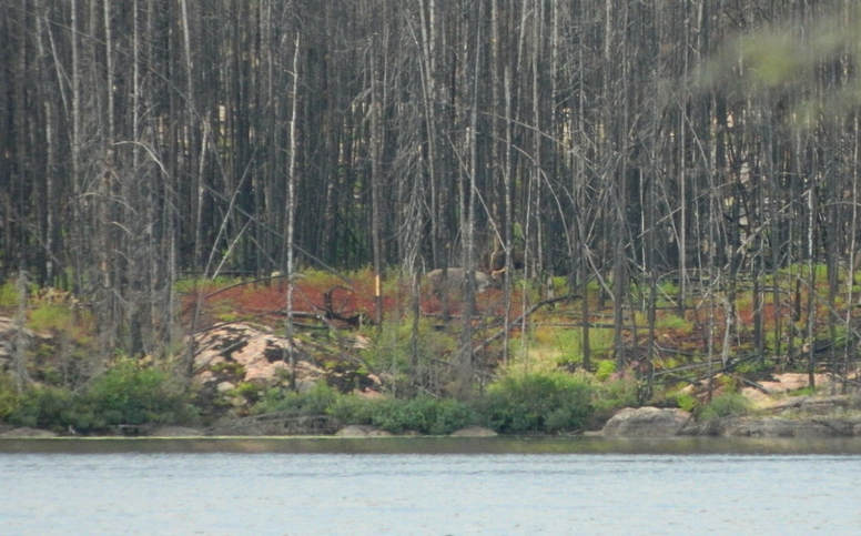
Forest fires are the dominant disturbance agent in most of the range of boreal woodland caribou in Ontario. Most fires consume ground lichens, the primary forage for woodland caribou, rendering large patches of habitat unsuitable for decades. As a result, burned areas are generally not considered suitable habitat for caribou until at least 40 years after fire. This has important policy implications under federal and provincial Species at Risk legislation, affecting resource and fire management.
The objective of this study is to quantify lichen regeneration after forest fires in northwestern Ontario. Burns of various ages were visited within and around Woodland Caribou Provincial Park. Within each burn, sampling was stratified into sparse conifer and dense conifer ecosites. A transect measuring 50 m in length was established at each study site and percent cover of ground lichens was visually estimated in 1 m² plots placed every 10 m along the transect. Other site factors such as canopy closure, percent cover of herbaceous and shrubby vegetation, etc. were recorded for each plot.
I observed a stark contrast in lichen availability between the two dominant upland ecosites in the study area: sparse conifer and dense conifer, with sparse conifer supporting much higher lichen abundance. Lichen biomass at sparse conifer sites had recovered 49 years (± 7.5 years) post-fire, consistent with Environment Canada's 40-year recovery threshold. A set of models compared by AIC scores identified age, ecosite, canopy closure and litter as the best variables for predicting lichen biomass. This information will be used to produce a lichen abundance map for the study area, which will be paired with GPS collar locations to determine how caribou select forage lichens in a landscape with frequent forest fires.
Forest fires are an important part of the ecology of woodland caribou in northwestern Ontario. Studying caribou-fire ecology is vital to improving conservation outcomes for these populations.
Disclaimer: This is a class exercise based on modified datasets, and this website was developed for the sole purpose of the RENR 711 class.
